white lettering on orange background northshorevisitor.com com logo
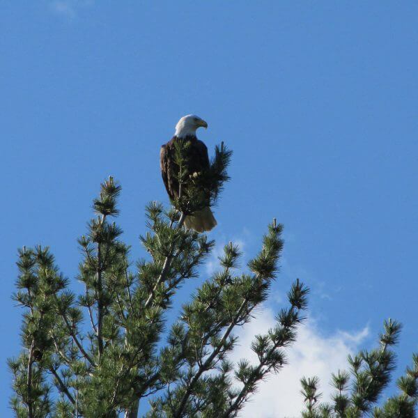
Bald eagle atop a pine against the blue sky


Bike from the Highest to the Lowest Point in Minnesota

mile 110.5

Eagle Mountain to Lake Superior in Grand Marais

Follow US Forest Service and county gravel roads, paved roads and a bit of the Gitchi Gami Trail through the woods, past sloughs, under pines with a few Lake Superior Vistas. Some rolling hills with a rise of 354 feet but an overall descent of 1499 feet over 16.6 miles.
Park at the Eagle Mountain Trailhead, then ride up over the ridge then all the way down to Grand Marais, picking up the Gitchi Gami State Trail for the last 1.5 miles. Lovely ride on low-traffic road [watch for logging operations].

Length: 17 miles

Difficulty: easy to moderate / difficult if you ride it up hill

Trailhead: Eagle Mountain Parking [The Grade and Bally Creek Rd]

Surface: hard pack gravel road
 

Check out these North Shore Favorites

family in horse drawn sleigh at gunflint lodge
charming sauna at Larsmont Cottages in winter with cold steamin lake superior in background
upcoming events
Art Along the Lake: Fall Studio Tour
22 Sep 23
Grand Marais
Thursday Afternoon Art
28 Sep 23
Grand Marais
Grand Marais Farmer's Market
28 Sep 23
Grand Marais
Finland Farmers Market
28 Sep 23
Finland
Cook County Trivia Night
28 Sep 23
Grand Marais
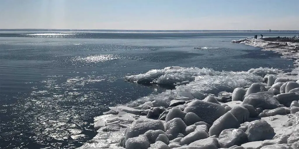
sparkling wintry lake superior and ice sheets stacked on north shore

Get North Shore travel tips delivered to your inbox