north shore mn snowmobile trails, maps & rentals
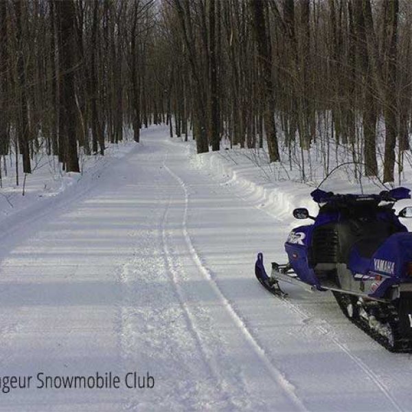
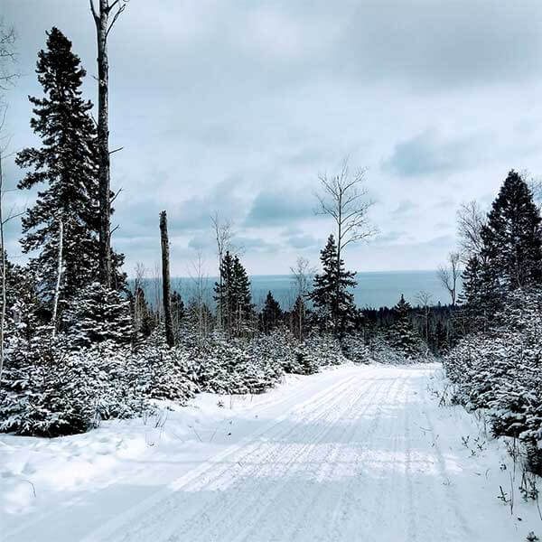
Whether you are looking to play in the powder, skim across frozen lakes, or tour first-class trails, the North Shore is a premier snowmobiling destination. Whether you want to fly across frozen lakes or ride forested paths past ponds – and maybe even a moose, North Shore MN snowmobile trails provide the opportunity to explore the spectacular Lake Superior shoreline, adjacent ridges, lakes, forests and towns.
MN Snowmobile Trail Maps
Planning your adventure is easy with MN snowmobile trail maps, which detail the well-maintained routes across the area. The North Shore features connections to the state’s vast Grant-in-Aid trail system, ensuring riders can customize their journeys based on skill level and desired distance. Highlights include the North Shore State Trail, a 146-mile corridor that links Duluth to Grand Marais, offering access to remote wilderness and charming towns along the way.
With ample amenities, including warming huts, lodging, and dining options, the North Shore guarantees a memorable snowmobiling getaway for locals and visitors alike.
Trail Ethics and Common Sense
Snowmobile trails on the North Shore cross private and public land and are developed and maintained through a Minnesota Department of Natural Resources (MN DNR) Grant-In-Aid program. Local snowmobile groups act in conjunction with the state to create, groom and maintain area trails. Snowmobiling is free of charge in Minnesota as long your snowmobile is registered in MN. All others require an annual $51 permit [details on how to buy]. A 50 MPH speed limit is in effect unless otherwise posted.
north shore state trail
Rugged terrain is tamed by this 146-mile trail system. Leaving Duluth, the trail carves a lateral path through the backwoods and cliffs rising out of Lake Superior until it reaches its final destination, Grand Marais.
Numerous local trails connect with the State Trail, providing snowmobilers access to river banks, waterfalls, overlooks, wilderness loops and small pockets of civilization. The trail features many entry points, maintained rest areas, parking areas and bridges and is groomed in its entirety on a weekly basis. Gas, food and lodging are offered on some of the spur / local trails. Be prepared; sled with a friend and bring tools and parts, food and water, fuel and oil, and a cell phone. Many parts of the trail have NO CELL coverage. Leave your itinerary with a friend or the front desk staff and check the local forecast.
Enjoy your ride!
See the map
** a note about maps
Many of the map links below connect to the MN DNR’s state trail snowmobile map, as does the link above; as clubs offer specific trail maps, we will post them.
The DNR now offers an Interactive state trail map, too.
north shore snowmobile trails
Ride the skyline ridge, around Spirit Mountain and the woodlands behind the zoo. This trail connects to the Willard Munger State Trail which leads south towards Carlton, Minnesota and to the Duluth East Trails which connect to the North Shore State Trail.
If the snow cover is thin at the trailhead, patrons can park and ride from the Buffalo House Bar & Restaurant
Length: 33 miles
From 1-35, drive north on 21st Avenue East, then northeast on Woodland Avenue, southeast on Martin Road, right onto to Eagle Lake Road and to the parking area.
length: 146 miles
From 1-35, continue to London Road, drive north on 61st Avenue East, which turns into Lester River Road. Snowmobile out of Lester Park into the Hawk Ridge Valley and city woodlands to the start of the North Shore State Trail. This trail winds back east then north before connecting to the state trail.
Length: 12 miles
Leaving the North Shore State Trail about 20 miles north of Duluth, the Pequaywan heads north into the Cloquet Valley State Forest and connects with the State Forest Trail.
Length: 10 miles
Trailhead and parking just east of town on Highway 61. The trail brings the rider from town to the CJ Ramstad/State Trail. Or to directly access the state trail, from Highway 61, drive north on County Road 2 about 8.5 miles to the parking area.
Length: 9.6 miles
From the main parking area, past the the old Interpretive Center on the east side of the river, this trail climbs the ridge and leads through the forest to the state trail.
Length: 9 mi
These trail systems traverse some great topography! From Beaver Bay, Silver Bay and Tettegouche State Park the trails climb hillsides, skirt gorges and rivers and criss cross the backwoods. Finland provides quick access to the state trail and trails leading north to Isabella and Ely. Note the state park trails quickly connect to / are part of the area trail system.
Length: varies; from Highway 61 to the state rail is about 9 miles with lots of loops and systems to ride in between
we include this trail because it is the link to riding to Ely MN from the North Shore. Taking its leave at the Lake and Cook County border, the Tomhawk aims four miles north to Crooked Lake. An option to leave from Finland on the Finland Trail which intersects with the Tomahawk, south of Isabella. Enroute to Ely, you’ll travel the secluded territory of the Superior National Forest. The Tomahawk connects with are trails.
Length: 86 miles
Schroeder and Tofte offer access trails to the state trail or you can drive north of Tofte on the Sawbill Trail for direct state trail access.
Length: access trails are about 4 miles
The Lutsen trail system spans diverse topography. Set just below the ridgeline, trails connect Tofte and Lutsen, wind behind Oberg Mountain, roll over heavily timbered land, feature several scenic overlook areas, and connects to the North Shore State Trail.
Length: 67 miles
The last leg of the North Shore State Trail is the Grand Marais Trail. A junction on Forest Road 1367 presents the option of riding into town or heading onto the Gunflint Trail System. Currently only a few specific city streets in Grand Marais are open to snowmobiling with a 10 MPH speed limit
Length: 6 miles
Spectacular touring trails branch north of Devil Track Lake to the Canadian border lake, Saganaga. From the east end of Devil Track, the Gunflint Trail spans the entire area. From the west end of the lake, the X Trail runs parallel to the Gunflint Trail to the point they meet near Poplar River. Several trails connect the two along the way. Riding the Gunflint introduces you to moose, pine marten, Canadian and Blue Jays, and infrequently, timber wolves. You will have a much better chance of seeing wolf sign – tracks and kill sites. Off the Gunflint Trail shortly before it joins the X Trail is the Clearwater Spur leading to Clearwater Lake at the edge of the Boundary Waters Canoe Area Wilderness (BWCAW). Snowmobiling is not allowed in the BWCAW. You’ll be riding in secluded areas, services are available at some lodges on the trail, with a concentration around Poplar Lake, the midway point.
Length: 108 miles
Miles of scenic trails traverse the hilly terrain rising north from Lake Superior. The two main trail centers are located at Grand Portage Lodge & Casino and at Mineral Center (from Hwy 61, drive north on Mineral Center Rd / Co. Rd. 17 for about 5 miles to the trail center. Trails criss-cross the back country with one trail leading to Ryden’s Border Store & Gas Station on the US / Canada border.
Length: 100+ miles
snowmobile rentals
gunflint mile 43.7 + 1.2 miles from Gunflint Trail
217 South Gunflint Lake | Grand Marais
218-388-4454
gunflint mile 43.7 + 0.6 miles from Gunflint Trail
143 South Gunflint Lake | Grand Marais
800-328-3325
upcoming events


