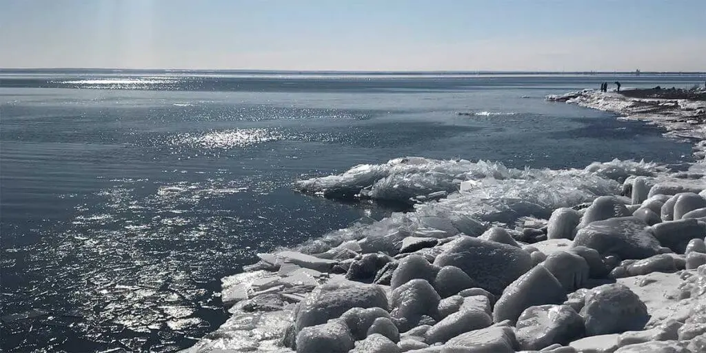
The trail starts flat through brush across the Onion River and in to forest before beginning a 200′ switchback ascent to the top of LeVeaux [say “le vough”]. Take in northern views as you approach the small loop at the western edge. Take in southern views before descending back to the main trail.
- Trail Reports
- Events
- Lodging Specials
- Lodging
- Communities
- Restaurants
- Shops
- Maps
- Attractions
- Winter Activities


