Difficulty: easy to moderate [length], by section below
Surface: paved
MN DNR Map of trail
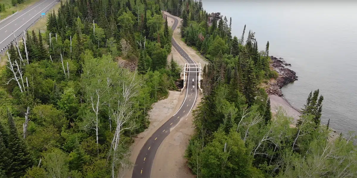
Silver Creek
follows the old Highway 61 road bed where it wrapped around Silver Cliff; excellent views
Length: 0.5 mile one-way
Trailhead: Silver Creek Tunnel, NE end
Map
Gooseberry Falls to Beaver Bay
The Visitors Center trailheads offer parking, restroom facilities and drinking water. Restaurants, restroom facilities and other amenities are available in Beaver Bay.
Length: 14.6 miles one-way
Trailheads: Gooseberry Falls State Park, Twin Points Wayside, Split Rock Lighthouse, Beaver River Trailhead
Map
Beaver Bay to Silver Bay
trail runs parallel to the lakeshore inland along the side of the hill; starts east of Beaver Bay on West Road and ends at the Silver Bay Hockey Arena; does not connect to remainder of trail
Length: 2.3 miles one-way
Trailhead: Silver Bay Hockey Arena at 129 Outer Drive, Silver Bay
Map
Schroeder to Lutsen – 1 mile trail gap requires crossing Hwy 61
ride the 3-mile trail through Temperance River State Park, over the river and back to Highway 61, where the trail ends, but you can carefully cross the highway, ride your bike down Tofte Park Road, along the Lakewalk and then pick up the 7.4 mile roadside trail that ends in Lutsen at the bottom of the Ski Hill Road
Length: 10.4 miles one-way
Trailheads: Schroeder Wayside, Tofte Park & Ski Hill Road
Schroeder to Tofte Map
Tofte to Lutsen Map
now open – new 3.7 mile corridor trail from Cut Face Wayside Rest east to existing trail into Grand Marais
Cut Face Creek Wayside Rest to Grand Marais
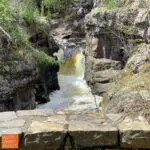
Highlights include the Fall River waterfall and river mouth views from a new bridge at the midpoint of the trail, Lake Superior views, small rock cuts and the big hill into Grand Marais. see the video of the trail above
For the full there-and-back ride, choose to ride the big hill first [depart from Grand Marais] or ride the hill the second half [depart from Cut Face]. For an easier 5.2-mile total ride, take off from Cut Face and ride to the Fall River bridge, then return the same route.
Length: 5.2 miles one-way
Trailhead: Cut Face Creek Wayside Rest or downtown Grand Marais
Map