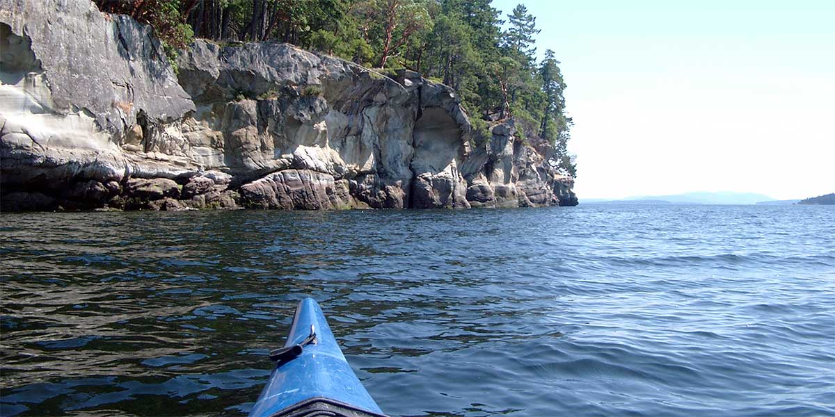
The Lake Superior Water Trail is a sea kayaking trail that, upon completion, will circumnavigate Lake Superior. The Minnesota portion will extend along the North Shore.
For inland lake Kayaking, please see the Canoeing Page
click on the map links for full descriptions and details of the access areas
Covers kayaking on the St Louis River [10 miles], in the St Louis Bay, along Minnesota Point, and from Canal Park along the North Shore to Agate Bay [25.3 miles]on the west end of Two Harbors.
Covers the Water Trail from Agate Bay to Halcyon Harbor [5.5 miles], northeast to Split Rock Lighthouse [11 miles], on to Beaver Bay [7.6 miles], to the Baptism River [6.9 miles] and a final rest area [3.4 miles]. The next available access point/stop is Sugarloaf Cove [10.7 miles].
This portion of the trail includes Schroeder [5.9 miles], Tofte [3.2 miles], Lutsen [7.3 miles], a 10.4-mile stretch with only one rocky landing public access, and from Cascade River State Park to Grand Marais [9.5 miles],
Final section of trail covers Grand Marais to Kadunce River Wayside [9.1 miles] to Hovland [9.1 miles] to Reservation River [5.2 miles], followed by a 10.1 mile stretch with no public access / stops, and the final route to the international border at the Pigeon River [5.6miles].