Late Season Fall Colors Drives
As the maples fade and Lake Superior begins to cool, autumn comes to the lakeshore. A second fall color season runs the end of September through late October. Get the current fall color report. Yellow stains the treetops, creating a canopy over the birch and aspen, and the tamaracks shed gold needles amid the leaf litter. Flaming underbrush makes guest appearances in the company of brown grasses
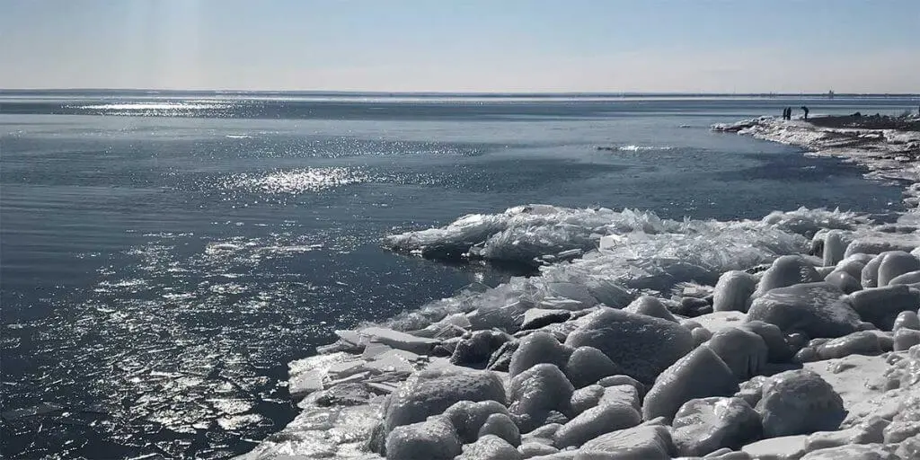
The second season of color takes place along the Highway 61 corridor to about a mile inland. As the final colors subside, Superior rages, smashing steel blue waves against craggy basalt shorelines. Hugging the cost, 1000-foot oreboats take heed of waves that exceed 20 feet. November is the best month to wave watch. Read about infamous November shipwrecks on the big lake.
Itinerary Tips
If you are visiting the tail end of October and early November, you may find a number of eateries closed, so plan ahead.
Daylight hours diminish at a quick pace this time of year with sunrise after 7am and sunset shortly after 6pm.
Traveling toward the west in the morning and the east in the afternoon keeps the sun at your back.
Get a general North Shore map to orient yourself. Trail maps are included in each description below.
The Best Three Late Season Fall Color Drives itineraries
mile 26.0 + 0.3 miles
Beer & Wine
Casual
623 First Avenue | Two Harbors
mile 37.0
Brewery/Bar/Winery
Family-friendly
Casual
Fine Dining
Grand Superior Lodge, 2826 Minnesota 61 | Two Harbors
218-834-3796
mile 109.7 + 0.1 miles
Baked Goods
Family-friendly
Casual
20 wisconsin Street | Grand Marais
218-387-1597
mile 109.5
Brewery/Bar/Winery
Casual
233 West Highway 61 | Grand Marais
218-387-3163
mile 109.7 + 0.1 miles
Baked Goods
Family-friendly
Casual
16 Wisconsin Street | Grand Marais
218-370-1417
gunflint mile 43.7 + 0.6 miles from Gunflint Trail
Brewery/Bar/Winery
Family-friendly
Casual
Gunflint Lodge, 143 South Gunflint Lake | Grand Marais
218-388-2294
Scenic 61 to Beaver Bay
I recommend a leisurely breakfast before heading to Beaver Bay and then meandering down the shore along the two back road routes provided. Including Scenic 61 on way your south [home?] takes advantage of the especially pretty scenery.
mile 0.0

Scenic 61
Scenic 61 Drive, follows the path of the original 1929 North Shore road
This route explores the backcountry including northern hardwood forests of oak, maple and basswood and boreal forests of pine, spruce, cedar, aspen and birch. It’s a great way to get off the highway and go for a country drive – all paved roads. From Two Harbors, drive northeast on MN-61 to Lake County 3, stay on this road – it turns into the Airport Road – until the T and head south on the Lax Lake Rd to Beaver Bay.
Consider continuing behind the ridge line by heading north on the Lax Lake Rd and following the directions of the Beaver Bay to Illgen City route.
31.9 miles to Beaver Bay and 25 miles return on Highway 61 to Two Harbors
This route explores the backcountry including northern hardwood forests of oak, maple, and basswood, and boreal forests of pine, spruce, cedar, aspen and birch. You will ascend to the top of the hills, then drop down for a woodland drive. Watch for deer – and maybe a rare moose – on this winding, low-traffic road. I suggest starting in Beaver Bay and working counterclockwise so you can enjoy the views descending MN Highway 1 towards Lake Superior and Highway 61.
This drive is lovely anytime during the season, showcasing ridge line maples early and poplar and birch later.
Option: at MN Hwy 1, turn left and go to Finland for a visit and lunch; return on MN Hwy 1, or on Co Rd 6, where the final few miles of descent are also impressive. All roads are paved. Click on the map for a larger
Gunflint Trail
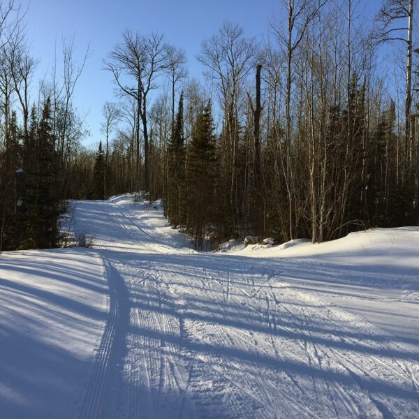
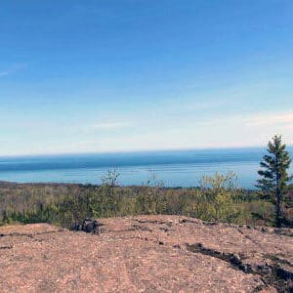
This drive includes options for short hikes, too! Start the day at the Pincushion overlook, oohing and aahing at the wide-open vistas of Lake Superior. Mosey into the woods along the East or West Loop cross-country ski trails for a mile leg stretcher.
Lima Mountain is a dirt road loop off the Gunflint, perfect for quiet beauty and an optional hike. Cap off the day with an climb to Honeymoon Bluff!
Hiking, biking, skiing and snowshoeing making Pincushion Mountain trails the Grand Marais trail system. Close to town, lots of spur options and expansive views make this an ideal hiking location. My #1 recommendation is the hike to the summit of Pincushion Mountain, pictured here. Use the map. There are loads of intersections and it is easy to get confused. You will follow the Superior Hiking Trail on the Pincushion Loop, then take the spur trail to the the peak. You will come to an overlook — appreciate it — but keep going, the views open up to 270-degrees just a bit further along. Return on the Pincushion Loop making this a 4.5 mile hike.
The hike follows cross-country ski trails so is a nice wide trail through birch with some low areas, moderate ascents and nice pines. Hike the 25K of cross country ski trails or the new bike trails (give right away to bikers, though!). The Superior Hiking Trail also crosses through the trail system and the overlook offers panoramic views of Lake Superior and Grand Marais. Trails have lots of junctions, so consider bringing a print map.
Mountain Biking
Seven narrow hard-pack trails intersect and climb the wooded hilltop overlooking Grand Marais and Lake Superior. The easy Pincushion Mountain Loop includes a small spur hiking trail to the summit. Test your skills on the advanced loops which connect to the intermediate loops.
Length: varies, 4.75 miles for Pincushion Mtn loop and spur to summit; 20 miles of bike trails
Difficulty: easy to more difficult due to length
Surface: hard pack and rock
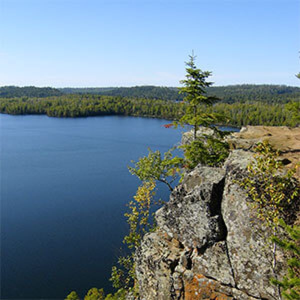
Beautiful sunsets, big views, wooden stairs and a rocky overlook make this a great hike. At 1.5 miles round-trip, it is the longest of the short hikes and very worth it. Take the spur trail in and then start to climb those stairs. Your reward, amazing views of Hungry Jack and Bearskin Lakes, and out into the Boundary Waters Canoe Area Wilderness. If you go for the sunsets, bring a headlamp, flashlight, phone light for the return trip. Talk about bang for your buck!
The Trailhead is about a quarter mile past Flour Lake Campground Rd.
Length: 1.5 mile total
Difficulty: moderate [steep]
Take a late season fall color drive in the back country. From the Gunflint Trail, drive west on Forest Road 325 / South Brule Road for 6 miles, drive north on on the Lima Grade for 9 miles back to the Gunflint Trail, either continue up the Trail [7 miles to mid Trail forr a few shops and restaurants] or return the approximate 28 miles to Grand Marais
*Bonus Hike:
At about 3.4 miles up the Lima Mountain Grade, you will see a grassy parking area. A rocky, poorly maintained trail leads about 1.2 miles to the top of Lima Mountain, where a fire lookout tower once stood [erected in 1935 and removed in 1978]. You will also get great views of the golden backcountry from an overlook about 2/3-mile in; return the same way.
Grand Marais to Grand Portage
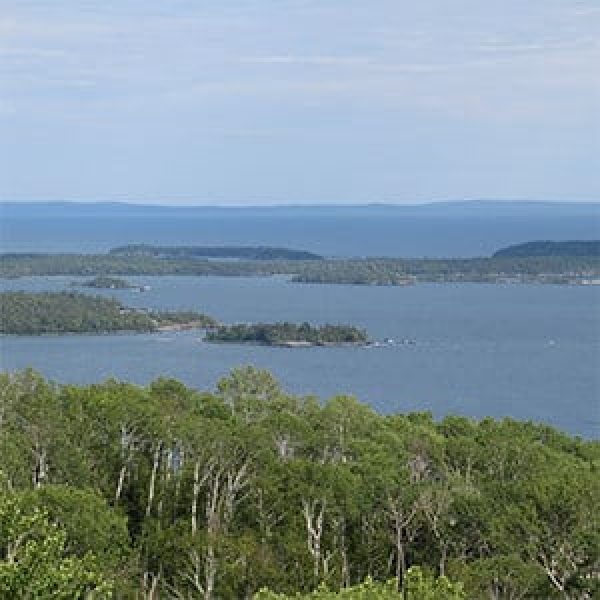
Grab a morning coffee, pack some car snack and head towards Canada. This stretch of Highway 61 opens to multiple view of Lake Superior – see the public access spots. The 35-mile [one way] route climbs as the topography changes in the last 6 miles. Take advantage of the wayside pullovers, especially Mount Josephine [pictured at the top of the page]. Take in Grand Portage State Park and the Grand Portage National Monument before returning.
Top-of-the-world views can be found at the summit of Mt. Josephine; turnaround views of Grand Portage Bay, and Wauswaugoning Bay, the Susie Islands, and Isle Royale National Park. Hike in about 1/2-mile to a ‘Summit 1 mile’ sign, this is when it starts to get steep with a few switchbacks.
The super easy way to see Mt. Jo is from the pull-offs on Hwy 61 a few miles south of the monument.
Trailhead is on Upper Rd, past the holding ponds, to a small pull off on the left; the trail starts by heading northeast along an old road
Length: 3 miles
Difficulty: difficult
Check out these North Shore Favorites
upcoming events

