Late Season Fall Colors Hikes
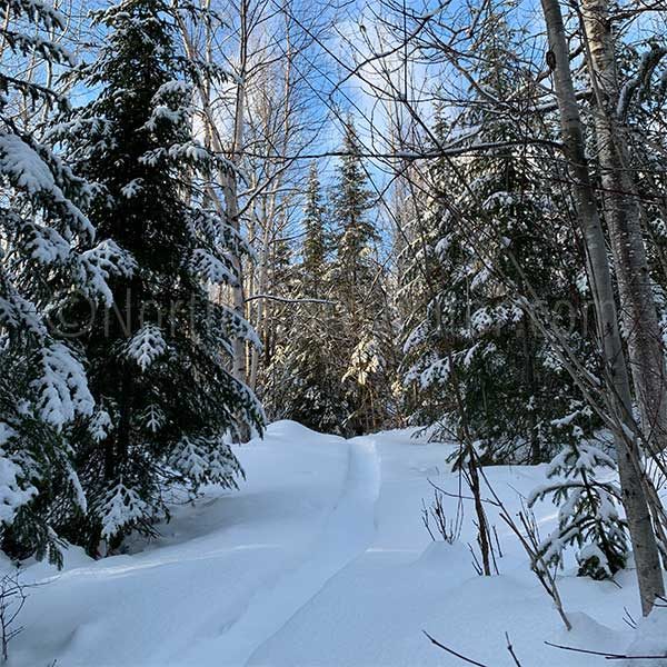
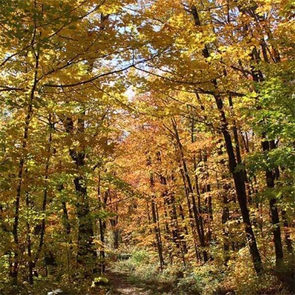
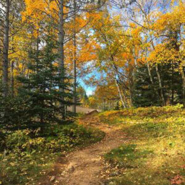
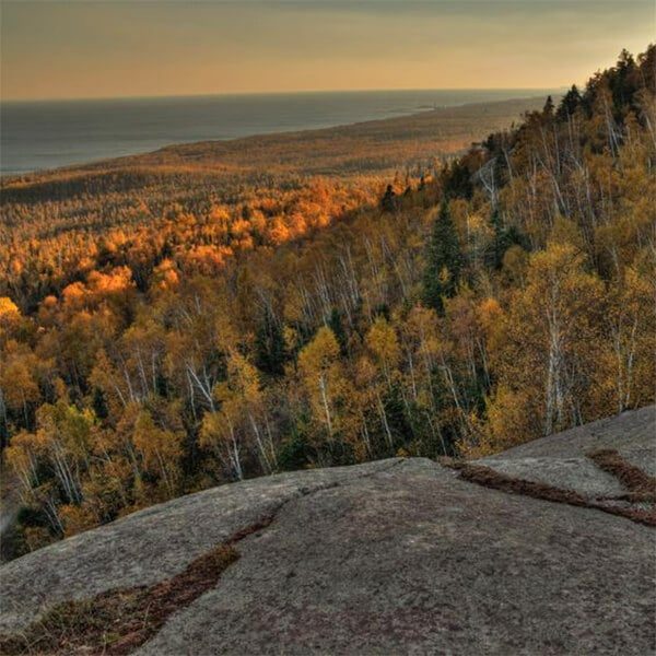
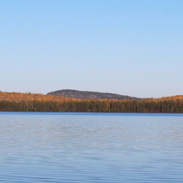
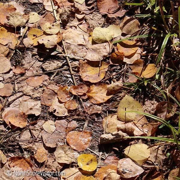
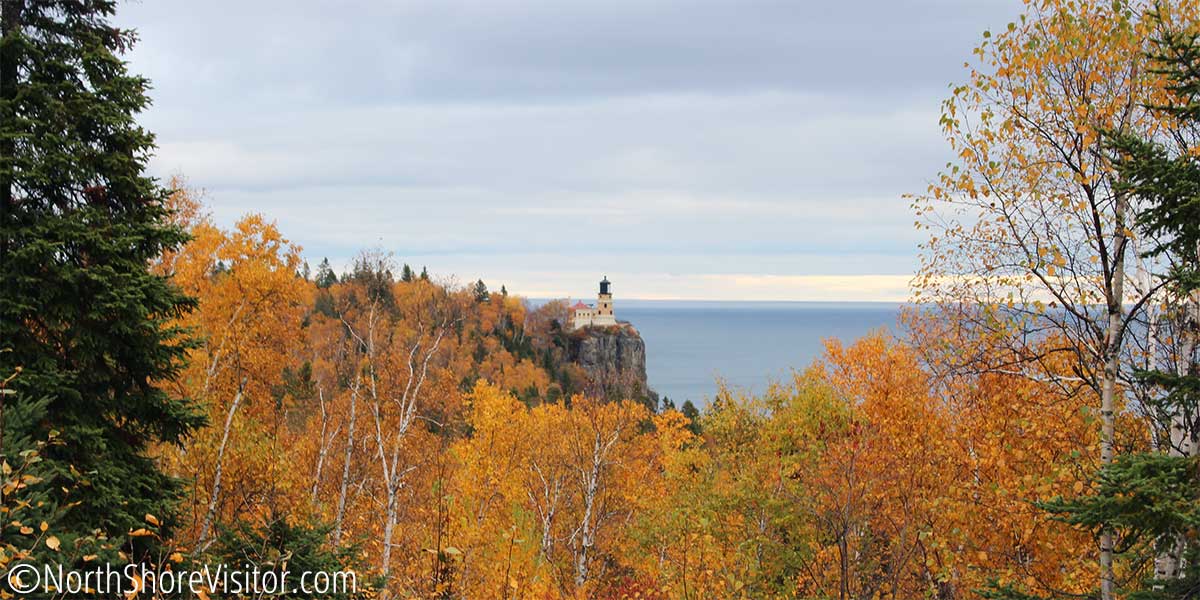
As the maples fade and Lake Superior begins to cool, autumn comes to the lakeshore. A second fall color season runs the end of September through late October. Get the current fall color report. Yellow stains the treetops, creating a canopy over the birch and aspen, and the tamaracks shed gold needles amid the leaf litter. Flaming underbrush makes guest appearances in the company of brown grasses
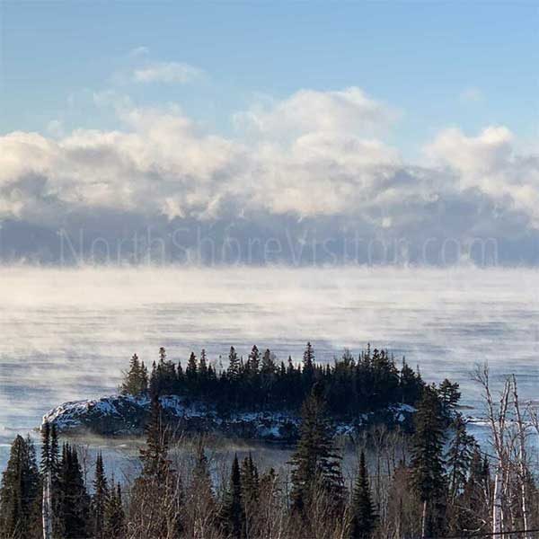
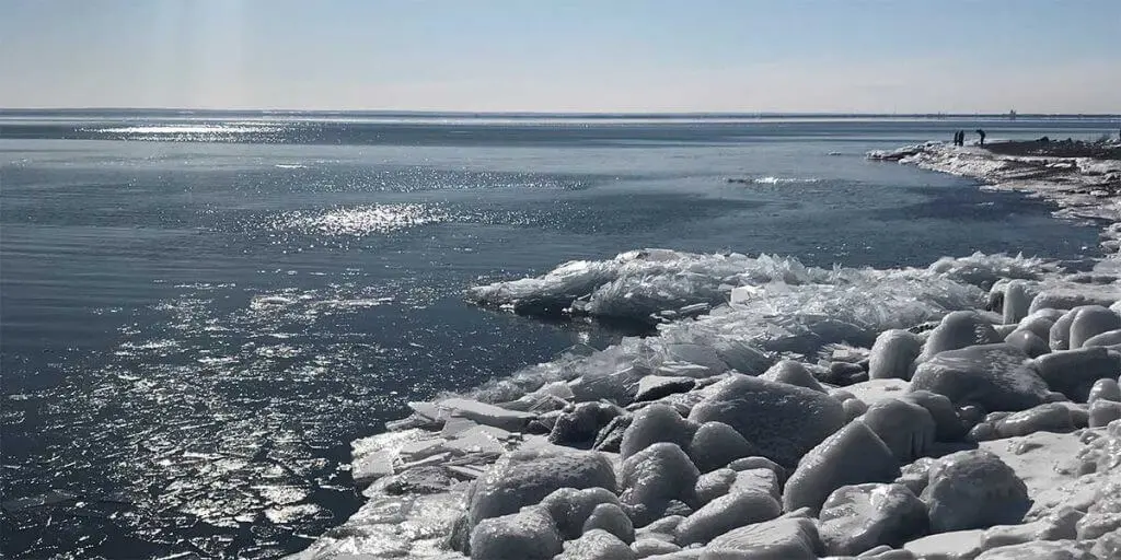
The second season of color takes place along the Highway 61 corridor to about a mile inland. As the final colors subside, Superior rages, smashing steel blue waves against craggy basalt shorelines. Hugging the cost, 1000-foot oreboats take heed of waves that exceed 20 feet. November is the best month to wave watch. Read about infamous November shipwrecks on the big lake.
Itinerary Tips
If you are visiting the tail end of October and early November, you may find a number of eateries closed, so plan ahead.
Daylight hours diminish at a quick pace this time of year with sunrise after 7am and sunset shortly after 6pm.
Traveling toward the west in the morning and the east in the afternoon keeps the sun at your back.
Get a general North Shore map to orient yourself. Trail maps are included in each description below.
The Best Three Late Season Fall Colors Hikes Itineraries
mile 26.0 + 0.3 miles
Beer & Wine
Casual
623 First Avenue | Two Harbors
mile 37.0
Brewery/Bar/Winery
Family-friendly
Casual
Fine Dining
Grand Superior Lodge, 2826 Minnesota 61 | Two Harbors
218-834-3796
mile 90.2 + 1.4 miles
Brewery/Bar/Winery
Family-friendly
Casual
Caribou Highlands Lodge, 371 Ski Hill Road | Lutsen
218-663-3020
mile 99.7
Brewery/Bar/Winery
Family-friendly
Casual
3719 West Highway 61 | Lutsen
218-387-1112
mile 109.7 + 0.1 miles
Baked Goods
Family-friendly
Casual
20 wisconsin Street | Grand Marais
218-387-1597
mile 109.5
Brewery/Bar/Winery
Casual
233 West Highway 61 | Grand Marais
218-387-3163
mile 109.7 + 0.1 miles
Baked Goods
Family-friendly
Casual
16 Wisconsin Street | Grand Marais
218-370-1417
Gooseberry to Split Rock
These four hikes provide a great state park sampler for this time of year. Looking for something longer? If you have two cars in your group, go with Wolf Rock which features great views, good climbs and pretty woods. The Split Rock River is especially nice with quiet woods, big climbs, and peek-a-boo views.
Any trail at Gooseberry Falls is going to be pretty this time of year. Same with Split Rock Lighthouse. It’s always nice to include something along the lake.
Short, steep and so worth it, this trail ascends out of the parking lot. After a series of switchbacks, the trail parallels the ridge and rewards you with a Lake Superior view. Continue on to Wolf Rock for amazing wide-open vistas of the lake. Continue on to Gooseberry Falls State Park, or turn around, enjoy the descent and head to your next short hike!
Length: 9.4 miles one-way to Gooseberry Falls State Park
Difficulty: moderate [climb 472′ (217′ to Wolf Rock), descend 689′]
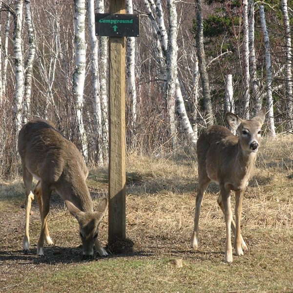
The beauty of of the park is steps from the Visitor Center, and sometimes on the way to the center, like these deer just off the path from the parking lot. A brief, paved, accessible path leads to the oft-photographed Middle Falls. Head south to view the Lower Falls or take a short accessible hike to the north, under Highway 61 that leads to the Upper Falls. This makes Gooseberry an ideal stop for everyone! Take advantage of the displays, restrooms and gift shop inside, then head to the river. The park has an abundance of inland trails, too.
Length: 18 miles of total trails
Difficulty: easy & accessible to most difficult due to length
Amenities: Visitor center has restrooms, lobby with a fireplace, and during open hours a gift shop, theater and exhibits
Split Rock rolls and bounces, cascading and tumbling to its mouth on Lake Superior. This hike, part of the Superior Hiking Trail, can be moderate to difficult due to elevation, length, and trail quality. While a lovely hike all summer long, a spring hike affords falls views that are obscured once trees have leafed out.
Part of Split Rock Lighthouse State Park
Highlights: now two hikes, one up each side of the river, with the option of crossing during low water [most of the summer – but can flow after rains] to make it a loop
west side trail runs above the river past rock cliffs, and on the east side you get river valley views and Lake Superior overlooks
Length: 5 miles round-trip
Difficulty: moderate to more difficult [some steep grades]
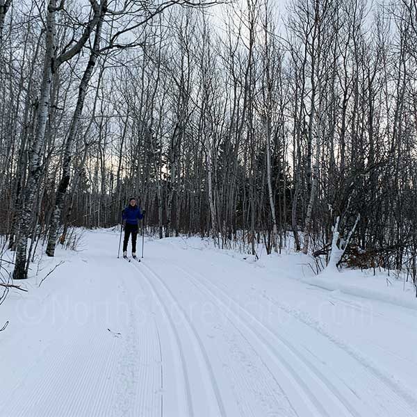
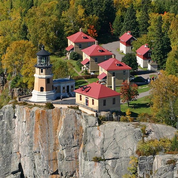
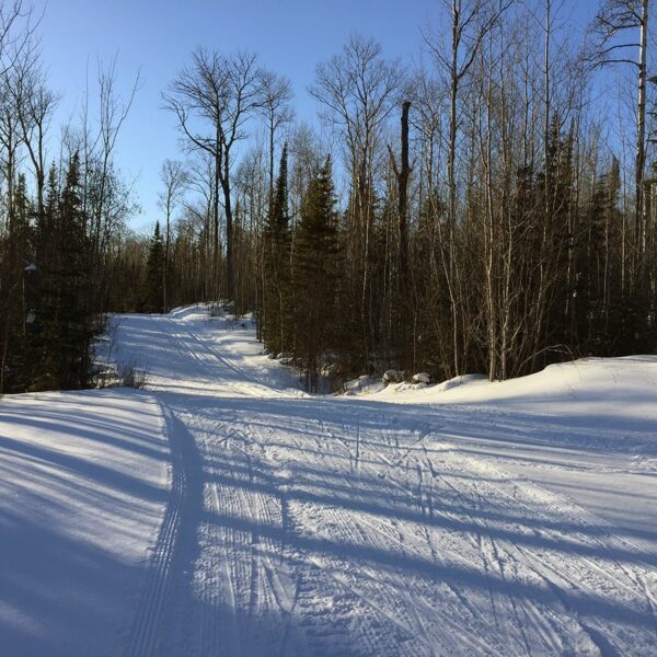
Take the easy accessible trail to the Visitor Center stairs to the Lighthouse. Then descend cliffside steps to Lake Superior and the Pump House. Trails traverse cobblestones beaches and adjacent forests; giving way to vantage points for viewing lighthouse. The Merrill Logging Trails crosses Highway 61 and meanders through the northern park forests. In winter 8.7 miles of multi-use trail with tracks for classic cross-country skiing on one side and the remainder of the trail for fat bikes, snowshoes, hiking, and skate-skiing are available. This provides a unique opportunity for people with different interests to all share the same trail.
Amenities: outhouses, some paved trails, picnic areas, visitor center
Length: 12 miles total with 3 along the lakeshore
Difficulty: easy to moderate
Silver Bay to Tofte
Make your way along this stretch of the shore with four hikes, three quite easy and moderate Carlton Peak. The combination of trails give city and lake views, and provides cliffs and quiet forests. All are relatively flat except Carlton peak.
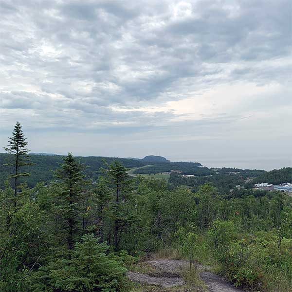
Take in 270° views from three overlooks just off Highway 61. Follow the blue signs north into Silver Bay, then left up the hill. The first parking area has a short path to an aerial view of of the Cliffs Mining Plant, which gives the scope of the operation. A loop from the main parking area brings you to an overlook with panoramic shore and lake views well past Palisade Head to the northeast. A few steps later you are treated to a bird’s-eye perspective of Silver Bay from the big Lake to the ridge lines. The dirt path brings you back to the main parking area.
Amenities: seasonal porta-potty
Length: 1.0 mile
Difficulty: easy
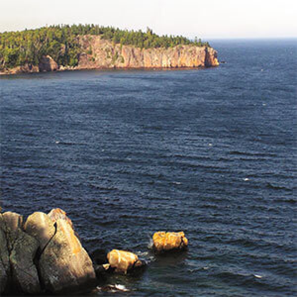
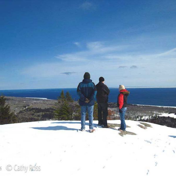
Looking for unobstructed Lake Superior views, up close and personal? Hike out to Shovel Point. It’s quick, about a half-mile total, with multiple overlooks and some steps (may need to keep kids in hand here). Gaze straight out and take in the enormity of the world’s largest freshwater lake. Turn north to see Crystal Bay and south to take in the 200-foot high cliffs of Palisade Head. Return downhill, and invigorated, enough so you may want to pass the visitor center and scamper down to the river mouth, more quick trails.
Amenities: picnic areas, visitor center
Length: 0.5 + miles
Difficulty: easy, but need to keep an eye on the kids
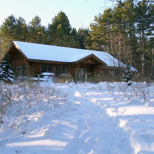
An excellent 1-mile interpretive hiking trail with a self-guided brochure. Mosey through pine plantations, and alder thicket, and along the cobblestone beach. Learn about log rafting and tree planting, appreciate a small overlook and take steps down to the beach. The last stop is the Visitor Center, an energy efficient lovely log building.
Amenities: visitor center
Length: 1 mile
Difficulty: easy
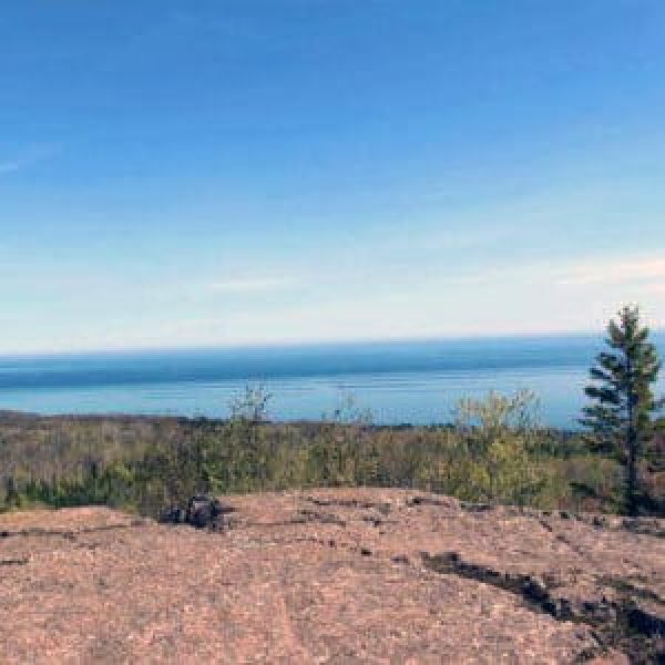
Massive blocks of gray anorthosite form Carlton Peak. This heady summit gives bird’s-eye views of the maple forest you crossed to reach the peak. Carlton Peak is 924 feet high with the trail elevation of about 550 feet. A nearby overlook has panoramas of Lake Superior, Tofte, and the Temperance River Valley, which makes this a great late season hike, too.
Length: 3-3.4 miles depending if you take the spur trails
Difficulty: moderate due to steepness
Grand Marais to Gunflint Trail
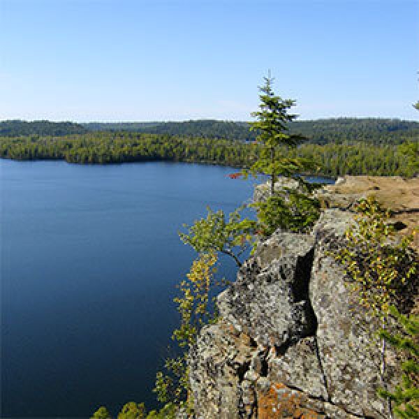
Late autumn is the time to climb Eagle Mountain, Minnesota’s highest peak as it is bugless, cooler and affords golden views. Pincushion is just about within Grand Marais and is worth a stop for the overlook. It is a great way to add on a last minute hike if you are staying nearby. Honeymoon Bluff is super pretty is a showy views way while the Lima Mountain makes you work to take in the more subtle beauty of late fall.
Eagle Mountain is the highest point in Minnesota. The first few miles head through dense forest with openings to bogs and sloughs and the trail is crisscrossed with roots and rocks. At Whale Lake the trail takes a turn and the country becomes a bit more open for a half mile. The final mile is a climb to the summit and open views.
Portions of the trail are within the Boundary Waters Canoe Area Wilderness, it is considered a wilderness trail and while well-used it is rocky and uneven, not regularly maintained, and does not have stairs on the climb. Plan ahead: make sure everyone in your group is able to make the climb, is wearing appropriate footwear, has enough water, snacks, bug dope, and some emergency supplies. There is no cell service and it is very difficult to extract hikers in an emergency situation. You will also need a BWCAW permit which is available at the trailhead kiosk.
Length: 7.0 miles round trip
Difficulty: moderate-difficult due to trail condition, length and steepness
Hiking, biking, skiing and snowshoeing making Pincushion Mountain trails the Grand Marais trail system. Close to town, lots of spur options and expansive views make this an ideal hiking location. My #1 recommendation is the hike to the summit of Pincushion Mountain, pictured here. Use the map. There are loads of intersections and it is easy to get confused. You will follow the Superior Hiking Trail on the Pincushion Loop, then take the spur trail to the the peak. You will come to an overlook — appreciate it — but keep going, the views open up to 270-degrees just a bit further along. Return on the Pincushion Loop making this a 4.5 mile hike.
The hike follows cross-country ski trails so is a nice wide trail through birch with some low areas, moderate ascents and nice pines. Hike the 25K of cross country ski trails or the new bike trails (give right away to bikers, though!). The Superior Hiking Trail also crosses through the trail system and the overlook offers panoramic views of Lake Superior and Grand Marais. Trails have lots of junctions, so consider bringing a print map.
Mountain Biking
Seven narrow hard-pack trails intersect and climb the wooded hilltop overlooking Grand Marais and Lake Superior. The easy Pincushion Mountain Loop includes a small spur hiking trail to the summit. Test your skills on the advanced loops which connect to the intermediate loops.
Length: varies, 4.75 miles for Pincushion Mtn loop and spur to summit; 20 miles of bike trails
Difficulty: easy to more difficult due to length
Surface: hard pack and rock
Beautiful sunsets, big views, wooden stairs and a rocky overlook make this a great hike. At 1.5 miles round-trip, it is the longest of the short hikes and very worth it. Take the spur trail in and then start to climb those stairs. Your reward, amazing views of Hungry Jack and Bearskin Lakes, and out into the Boundary Waters Canoe Area Wilderness. If you go for the sunsets, bring a headlamp, flashlight, phone light for the return trip. Talk about bang for your buck!
The Trailhead is about a quarter mile past Flour Lake Campground Rd.
Length: 1.5 mile total
Difficulty: moderate [steep]
Take a late season fall color drive in the back country. From the Gunflint Trail, drive west on Forest Road 325 / South Brule Road for 6 miles, drive north on on the Lima Grade for 9 miles back to the Gunflint Trail, either continue up the Trail [7 miles to mid Trail forr a few shops and restaurants] or return the approximate 28 miles to Grand Marais
*Bonus Hike:
At about 3.4 miles up the Lima Mountain Grade, you will see a grassy parking area. A rocky, poorly maintained trail leads about 1.2 miles to the top of Lima Mountain, where a fire lookout tower once stood [erected in 1935 and removed in 1978]. You will also get great views of the golden backcountry from an overlook about 2/3-mile in; return the same way.
Check out these North Shore Favorites
upcoming events


